Interactive Bible
Maps and 3D models you can turn, scroll and explore. Each is drawn from Scripture and the records behind it, and each comes with an article that explains it.
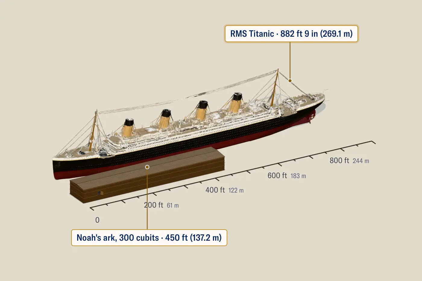
ノアの箱舟はどれくらいの大きさでしたか?
The ark in 3D at its true size, beside Titanic, a football field and four other things you know.
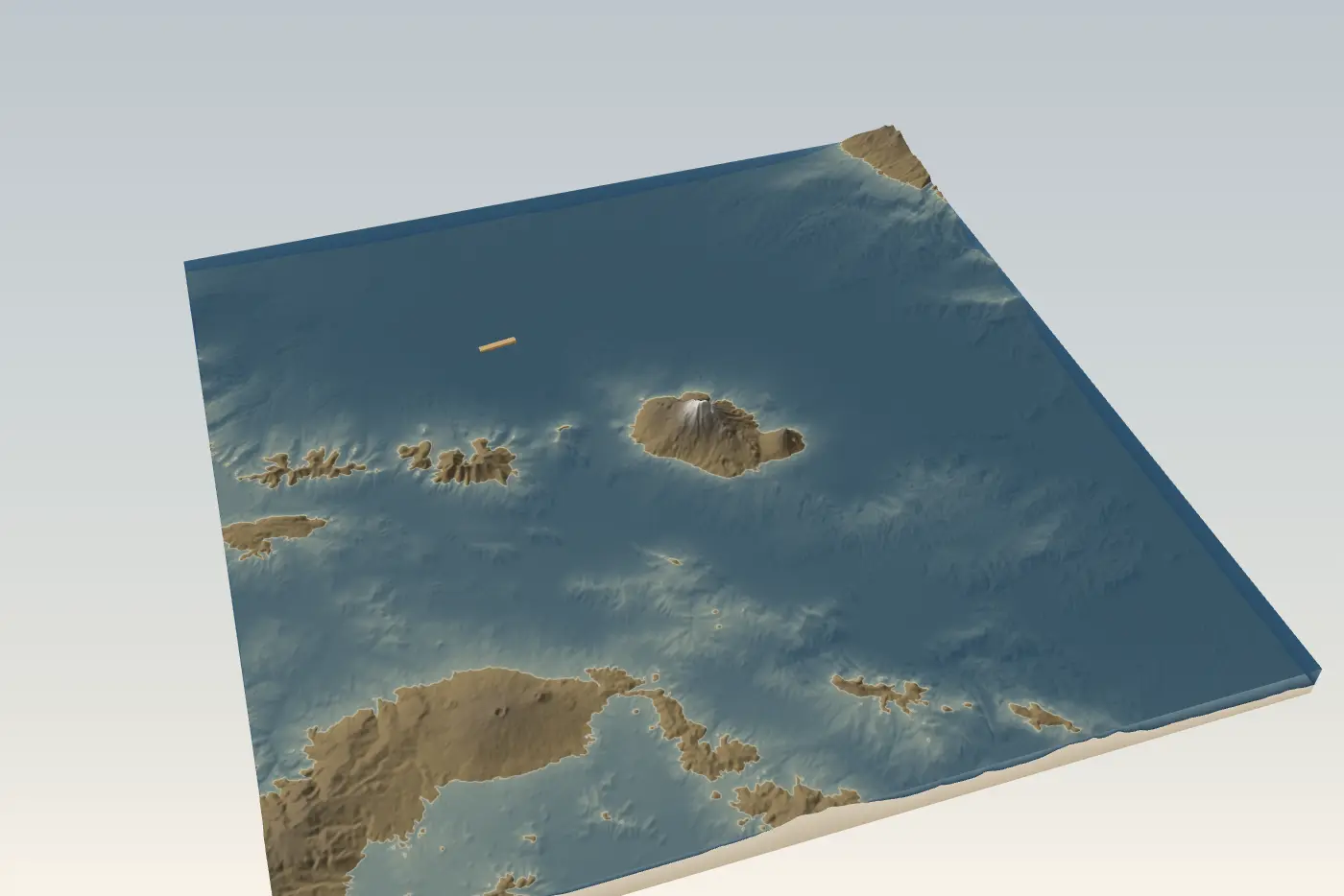
ノアはどれくらいの期間、箱舟に乗っていましたか?
The year of the flood, day by day, drawn over the land around Mount Ararat with the verse for each day.
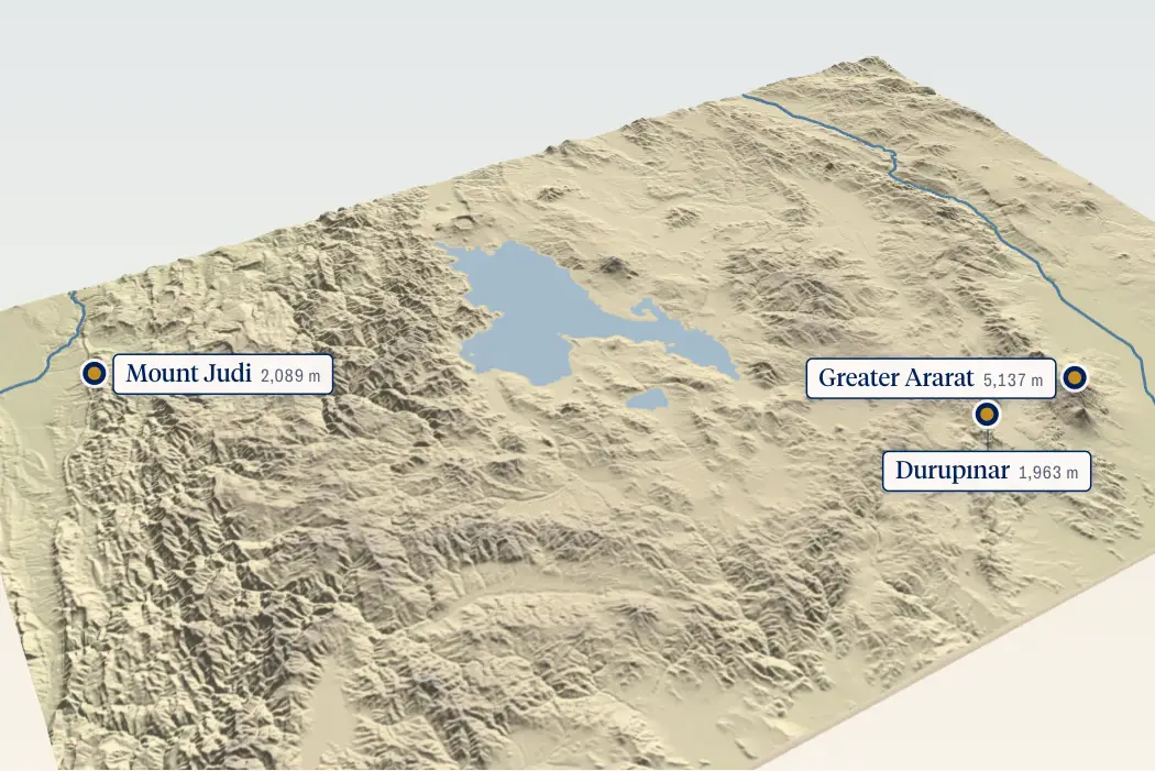
ノアの方舟はどこに漂着したのか?
Fly over the mountains of Ararat in 3D, from Mount Ararat to Mount Judi, raised from real elevation data.
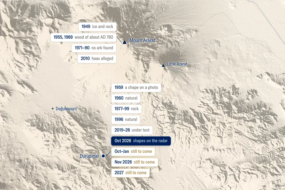
Who has searched for Noah’s ark?
Every major search on one map, from 1949 to the laboratory results still to come at Durupınar.